SouthDowns Way 9++
14 people attending
1 place left
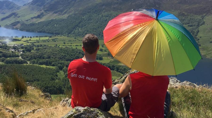
The South Downs Way runs for around 100 miles through the South Downs National Park and follows the old routes and droveways along the chalk escarpment and ridges of the South Downs.
The route provides the visitor with the opportunity "to get away from it all" . The landscape comprises wide grassy or flinty tracks on chalk downland, mostly grazed by sheep on the hills with arable crops below.
On the whole length there are about 4150 m (13600 feet) of ascent and descent whichever way you travel. So that's eqivalent to Mount Snowdon 4 times over!! Highest points: Butser Hill, Hampshire 270m (900ft) / Ditchling Beacon, East Sussex 248m (814ft).
For logistical reasons, certian sectors have to be walked in reverse, however you will have walked the whole length if you do all 10. Many of the sections have been walked in the past including:
2) Leg 2 TBC
3) Leg 3 TBC
4) Leg 4 TBC
5) Leg 5 TBC
Today we will be doing section 9 (plus a bit of 10 as a "bonus"!)
Food & drink
bring lunch and plenty of water.